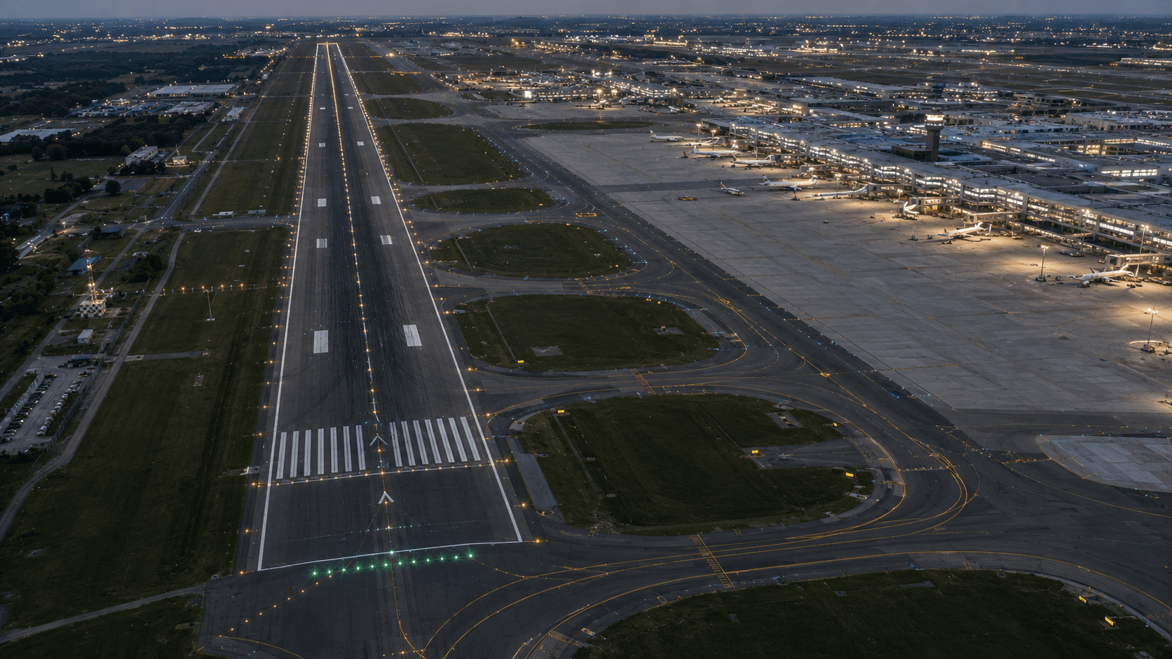
Airports & Runways
Runway, taxiway, and airside mapping with survey-grade accuracy and obstacle analysis.
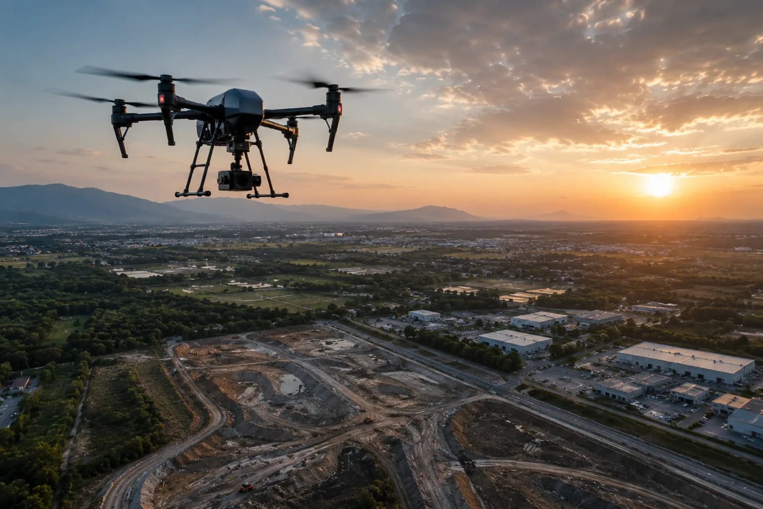
Airside environments demand accuracy, safety, and minimal operational disruption. MapSphere maps runways, taxiways, aprons, and surrounding terrain with LiDAR and RTK drone survey, producing the airside datasets and obstacle data planning and compliance teams rely on.
We support pavement assessment, obstacle limitation surfaces, and expansion planning on live and greenfield airfields.
Relevant services
Use cases
What this sector demands
Operational airfields
Capture is scheduled around movements; drone and mobile methods minimize time on the airside.
Obstacle limitation surfaces
Accurate terrain and feature heights are essential for OLS and approach analysis.
Pavement-grade tolerances
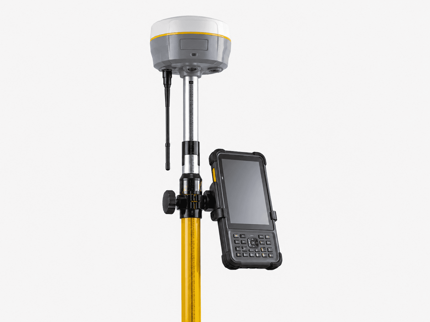
Runway and taxiway works need millimetre-to-centimetre vertical accuracy.
What you receive
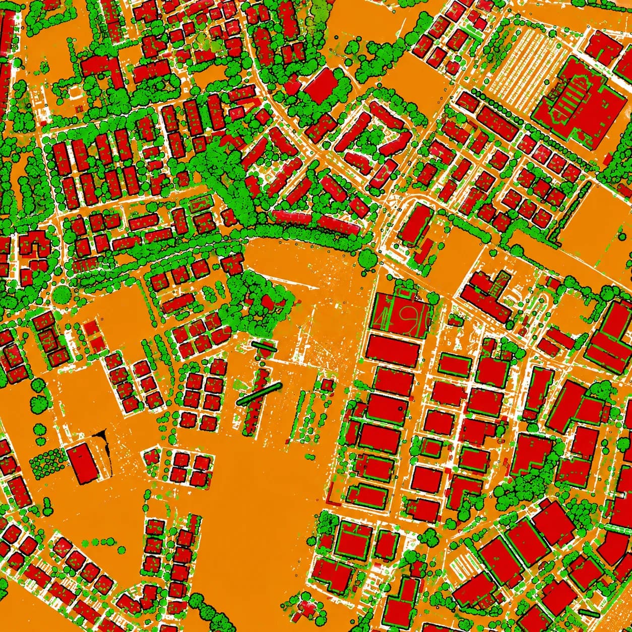
- Airside maps
- Obstacle data
- Terrain models
- CAD layers
How we deliver it
We establish control, capture airside surfaces with LiDAR and RTK drone, and extract pavement surfaces, obstacle data, and terrain models.
Deliverables include airside maps, obstacle datasets, DTM/DSM, and CAD layers ready for design and compliance review.
Services we apply here

Airports & Runways — common questions
01Can you survey an operational airport?
Yes. We plan capture around movement schedules and use drone and mobile methods to minimize airside time while meeting survey-grade accuracy.
02Do you provide obstacle limitation surface data?
We deliver accurate terrain and feature heights suitable for OLS and approach/departure analysis, plus obstacle datasets and CAD layers.
03What accuracy do you achieve on pavements?
With ground control and LiDAR/RTK capture we deliver centimetre-level surfaces, and millimetre-level where terrestrial scanning is used for detailed pavement assessment.
Planning a airports & runways project?
Tell us about your site and objectives — we'll scope the right survey approach, accuracy, and deliverables.