Remote Sensing & Image Processing
Spatial insight from satellite and aerial imagery at regional scale.
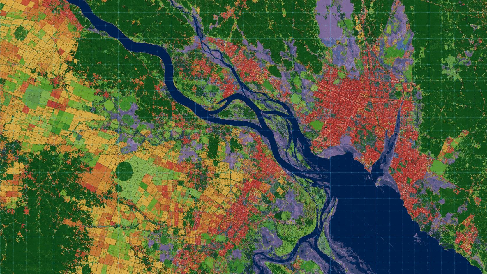
MapSphere processes satellite and aerial imagery to extract meaningful spatial insight for land use, environment, agriculture, forestry, and disaster monitoring.
Our remote-sensing pipelines support land use / land cover mapping, change detection, and environmental analysis at regional and national scale.
Key deliverables
Scope of work
- Satellite data analysis
- Land use / land cover mapping
- Change detection
- Environmental mapping
- Agriculture & forestry mapping
- Disaster mapping
What you receive
- Classified imagery
- LULC maps
- Change maps
- Raster datasets
- Spatial reports
Sample outputs

Where it’s used
How we deliver it
Project Scope
Understand site, objective, deliverables, timeline, and accuracy needs.
Survey Planning
Select the right method — UAV, DGPS, Total Station, LiDAR, GPR, Bathymetry, or hybrid.
Data Capture
Collect field, aerial, scan, image, and control data with approved instruments and trained teams.
Processing & Modeling
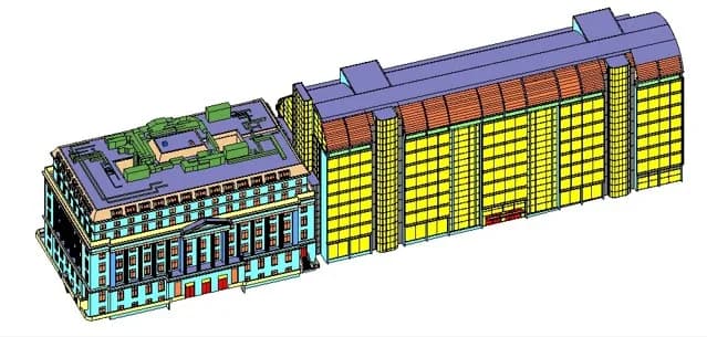
Convert raw data into GIS, CAD, BIM, orthophotos, point clouds, DTM/DSM/DEM, and maps.
Quality Validation
Validate accuracy, topology, alignment, coordinate system, completeness, and standards.
Final Delivery
Deliver maps, drawings, reports, spatial databases, models, and decision-ready outputs.
Related services
Remote Sensing — common questions
01What can remote sensing tell me about my site?
Land use / land cover classification, change detection over time, vegetation and crop health, water extent, and environmental indicators — derived from satellite and aerial imagery at regional to national scale.
02Do you do change detection?
Yes. We compare multi-temporal imagery to quantify urban expansion, deforestation, water-body change, and encroachment, delivering change maps and area statistics.
03What outputs do I receive?
Classified imagery, LULC maps, change maps, raster datasets, and concise spatial reports suitable for planning and environmental decision-making.
Start your Remote Sensing project
Share your site and objectives — we’ll scope the right approach and timeline.