CAD Services
Clean, standardized CAD drawings from survey, GIS, raster, and field data.
MapSphere converts survey, GIS, raster, and field data into clean, structured CAD drawings for engineering, planning, construction, and documentation — built to your drafting standards.
We deliver MicroStation- and AutoCAD-style outputs for planimetric, topographic, utility, and corridor drawings, fully layered and standardized.
Key deliverables
Scope of work
- CAD drafting
- Raster to CAD
- Survey drawing preparation
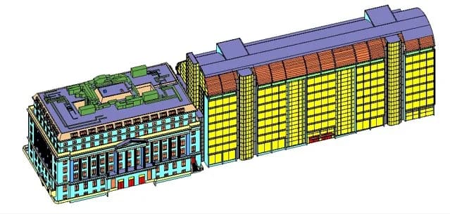
- Planimetric & topographic CAD
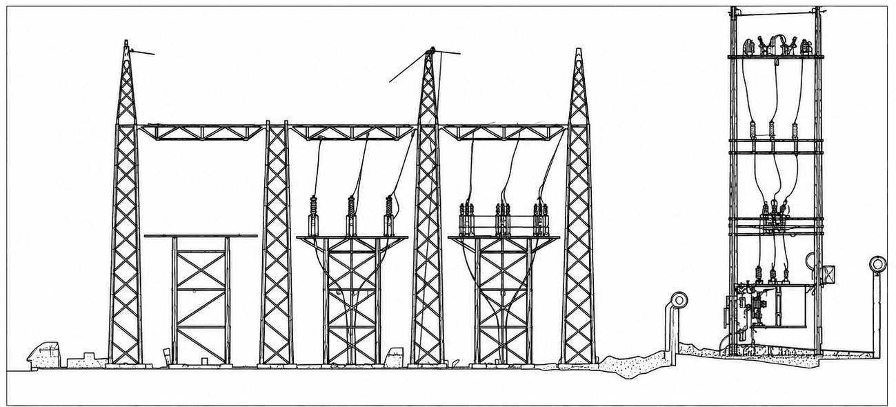
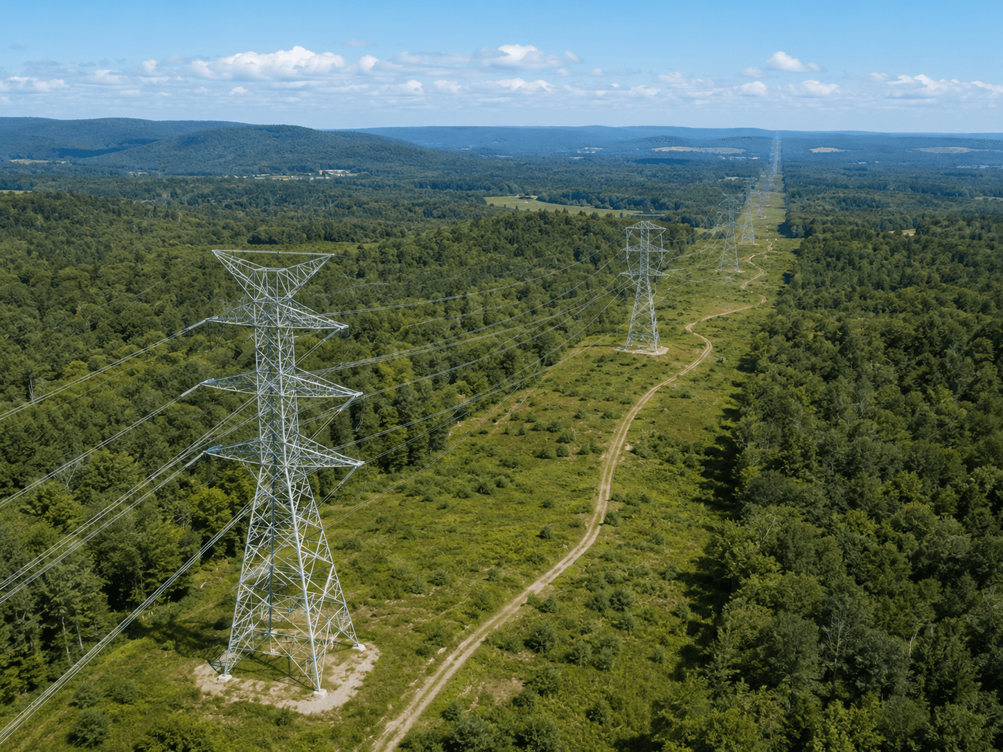
- Utility CAD
- Road / corridor CAD
- 2D plan / construction plan
What you receive
- DWG
- DXF
- DGN
- Plan drawings
- Utility drawings
- CAD layers
Sample outputs


Where it’s used
How we deliver it
Project Scope
Understand site, objective, deliverables, timeline, and accuracy needs.
Survey Planning
Select the right method — UAV, DGPS, Total Station, LiDAR, GPR, Bathymetry, or hybrid.
Data Capture
Collect field, aerial, scan, image, and control data with approved instruments and trained teams.
Processing & Modeling
Convert raw data into GIS, CAD, BIM, orthophotos, point clouds, DTM/DSM/DEM, and maps.
Quality Validation
Validate accuracy, topology, alignment, coordinate system, completeness, and standards.
Final Delivery
Deliver maps, drawings, reports, spatial databases, models, and decision-ready outputs.
CAD Services — common questions
01What source data can you turn into CAD?
We work from total-station and DGPS survey data, GIS layers, scanned raster drawings, LiDAR/point-cloud extractions, and drone-derived orthophotos — converting any of them into clean, layered DWG, DXF, or DGN drawings.
02Do you follow our CAD standards?
Yes. We draft to National CAD Standards (NCS) or your in-house layer, line-weight, and naming conventions. Provide a template or sample sheet and every deliverable will match it exactly.
03Can you do raster-to-CAD vectorization?
We vectorize scanned and raster drawings into fully editable, layered CAD — recovering planimetric detail, utilities, and corridor geometry as intelligent linework rather than a static image.
Start your CAD Services project
Share your site and objectives — we’ll scope the right approach and timeline.