Bathymetry & Hydrological Survey
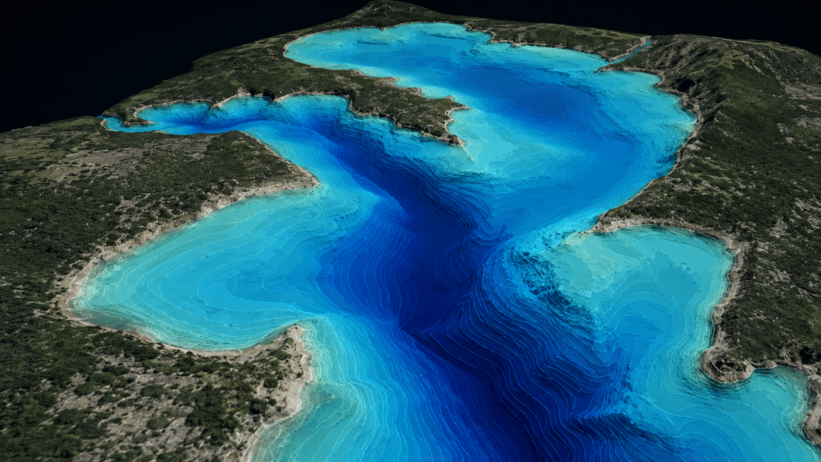
Underwater terrain and depth mapping for rivers, lakes, and reservoirs.
MapSphere performs bathymetric and hydrological surveys using dual-beam echo sounders to map underwater terrain for rivers, lakes, reservoirs, and drainage corridors.
We deliver depth models, cross-sections, and hydrological reports that support water-resource planning, dredging, and pipeline/drainage corridor design.
Key deliverables
Scope of work
- River survey
- Lake / reservoir survey
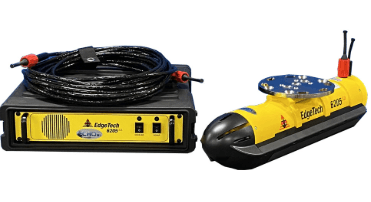
- Dual beam echo sounder survey
- Underwater terrain mapping
- Water pipeline & drainage corridor survey
What you receive
- Bathymetric maps
- River cross-sections
- Depth models
- Hydrological survey reports
Sample outputs
Where it’s used
How we deliver it
Project Scope
Understand site, objective, deliverables, timeline, and accuracy needs.
Survey Planning
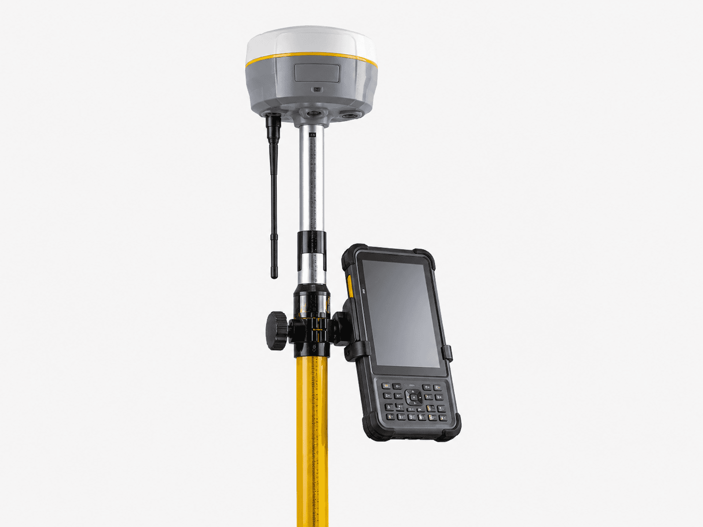
Select the right method — UAV, DGPS, Total Station, LiDAR, GPR, Bathymetry, or hybrid.
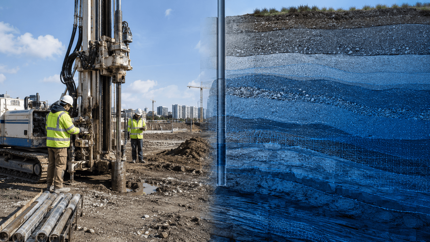
Data Capture
Collect field, aerial, scan, image, and control data with approved instruments and trained teams.
Processing & Modeling
Convert raw data into GIS, CAD, BIM, orthophotos, point clouds, DTM/DSM/DEM, and maps.
Quality Validation
Validate accuracy, topology, alignment, coordinate system, completeness, and standards.
Final Delivery
Deliver maps, drawings, reports, spatial databases, models, and decision-ready outputs.
Related services

Bathymetry Survey — common questions
01How do you map underwater terrain?
We use dual-beam echo sounders integrated with RTK positioning to capture depth and bed profile across rivers, lakes, reservoirs, and channels, then build depth models and cross-sections.
02Can you combine bathymetry with topographic survey?
Yes — we merge bathymetric and topographic/LiDAR data into a seamless topo-bathy surface, essential for ports, flood modeling, and pipeline/drainage corridors.
03What deliverables do hydrographic surveys produce?
Bathymetric maps, river cross-sections, depth/volume models, and hydrological survey reports for dredging, capacity, and water-resource planning.
Start your Bathymetry Survey project
Share your site and objectives — we’ll scope the right approach and timeline.