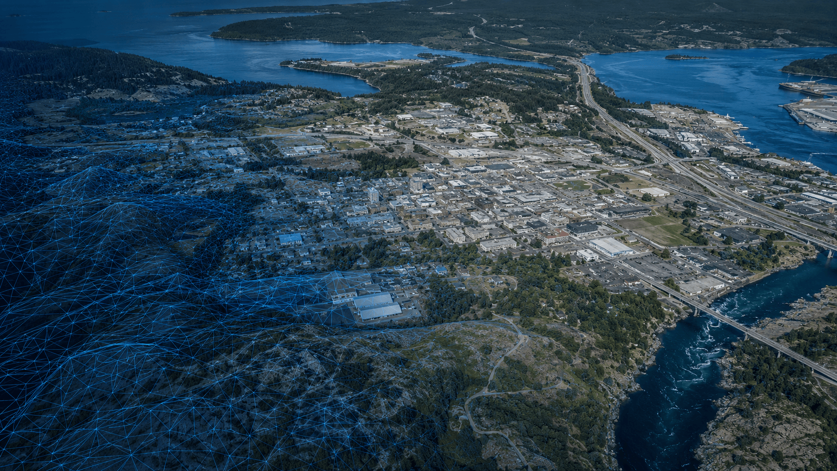
Digital Photogrammetry
Overlapping imagery converted to precise 3D maps, terrain, and features.
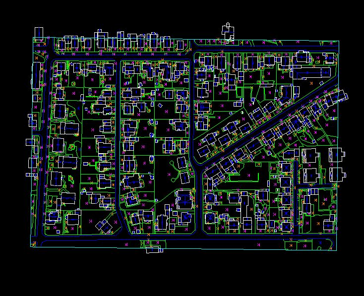
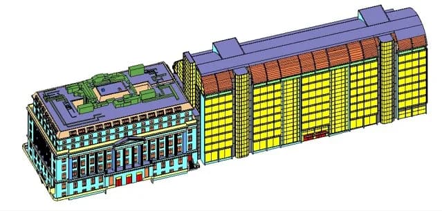
MapSphere transforms overlapping aerial and drone imagery into accurate 2D maps, 3D models, terrain surfaces, and feature datasets through advanced photogrammetric workflows.
From aerial triangulation and 3D planimetry to breakline collection and contour generation, we produce the foundation layers for engineering and infrastructure planning.
Key deliverables
Scope of work
- Aerial triangulation
- 3D planimetry
- Feature extraction
- Breakline collection
- DTM / DSM / DEM
- Contour generation
- Volume calculations
What you receive
- Orthophotos
- Planimetric features
- Terrain models
- Contour maps
- DEM / DSM / DTM
- Extracted feature layers
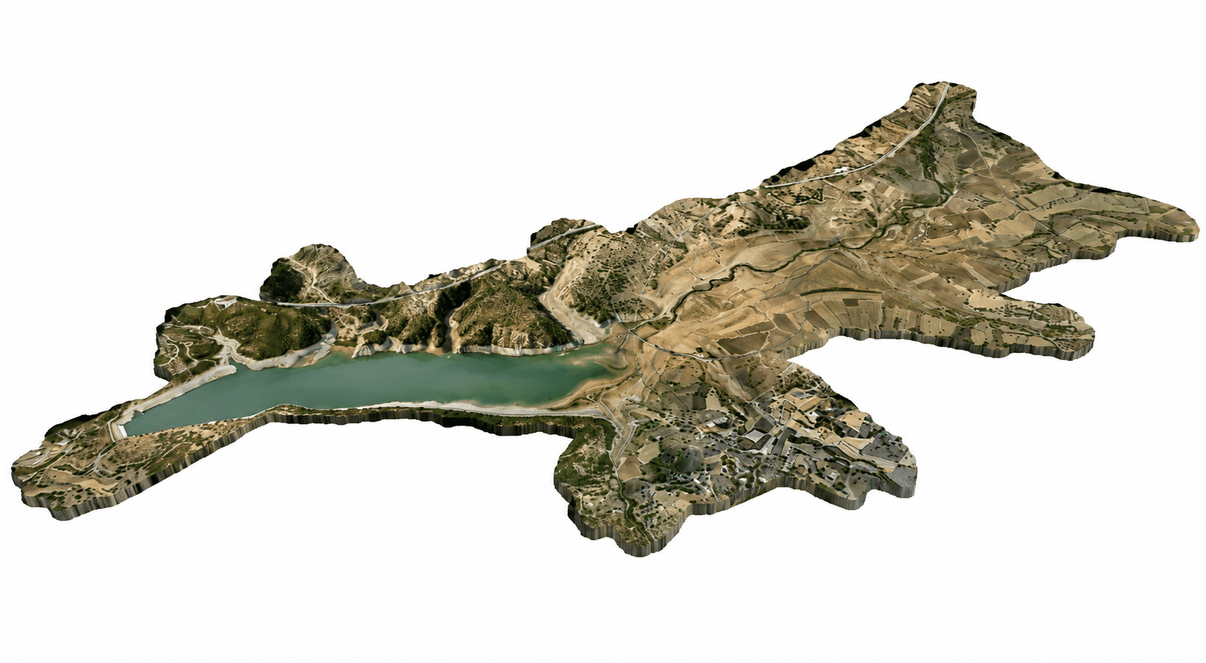
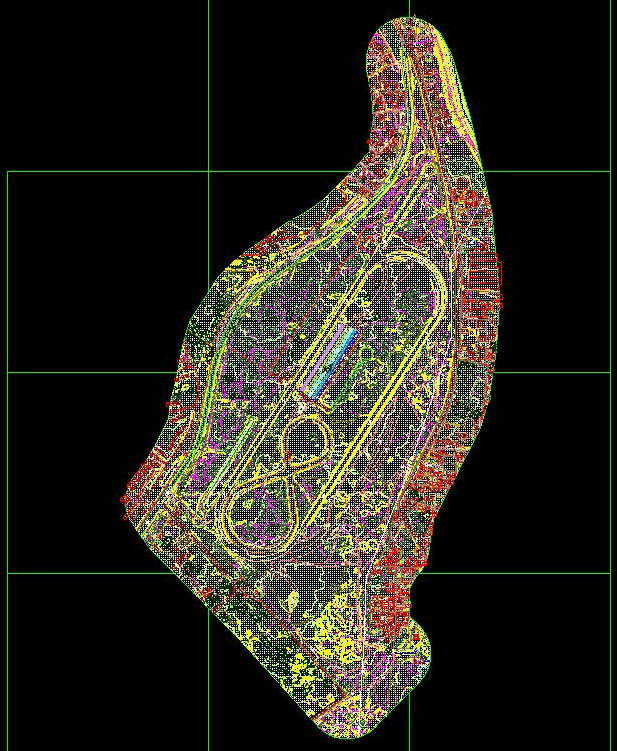
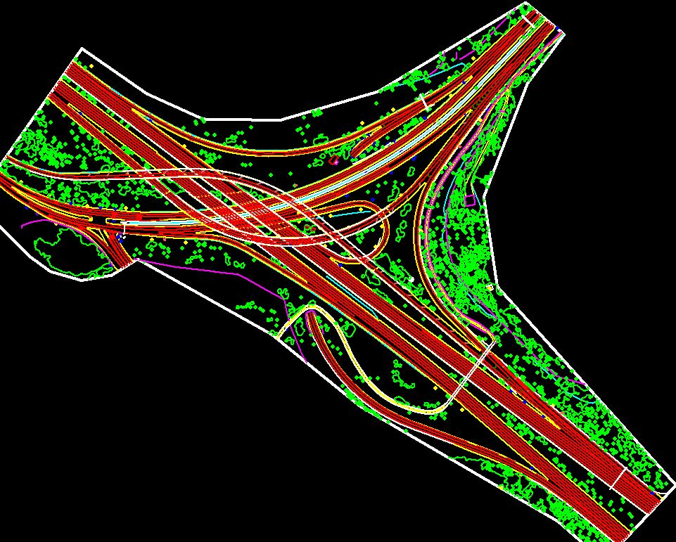
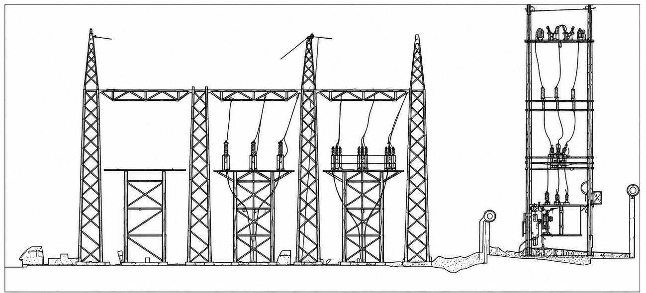
Sample outputs
Where it’s used
How we deliver it
Project Scope
Understand site, objective, deliverables, timeline, and accuracy needs.
Survey Planning
Select the right method — UAV, DGPS, Total Station, LiDAR, GPR, Bathymetry, or hybrid.
Data Capture
Collect field, aerial, scan, image, and control data with approved instruments and trained teams.
Processing & Modeling
Convert raw data into GIS, CAD, BIM, orthophotos, point clouds, DTM/DSM/DEM, and maps.
Quality Validation
Validate accuracy, topology, alignment, coordinate system, completeness, and standards.
Final Delivery
Deliver maps, drawings, reports, spatial databases, models, and decision-ready outputs.
Related services
Digital Photogrammetry — common questions
01How is photogrammetry different from LiDAR?
Photogrammetry derives 3D geometry and true-color texture from overlapping imagery — excellent for orthophotos, visual models, and open terrain. LiDAR actively measures range and penetrates vegetation better. We often combine both for the most complete dataset.
02What photogrammetric products do you deliver?
Orthophotos, planimetric feature layers, DTM/DSM/DEM, contour maps, 3D mesh models, breaklines, and volume calculations.
03Can you compute earthwork or stockpile volumes?
Yes — from a photogrammetric surface we calculate cut/fill and stockpile volumes against a base surface, with reports suitable for reconciliation.
Start your Digital Photogrammetry project
Share your site and objectives — we’ll scope the right approach and timeline.