Ports & Harbors
Combined topographic and bathymetric mapping for ports, harbors, and waterfronts.
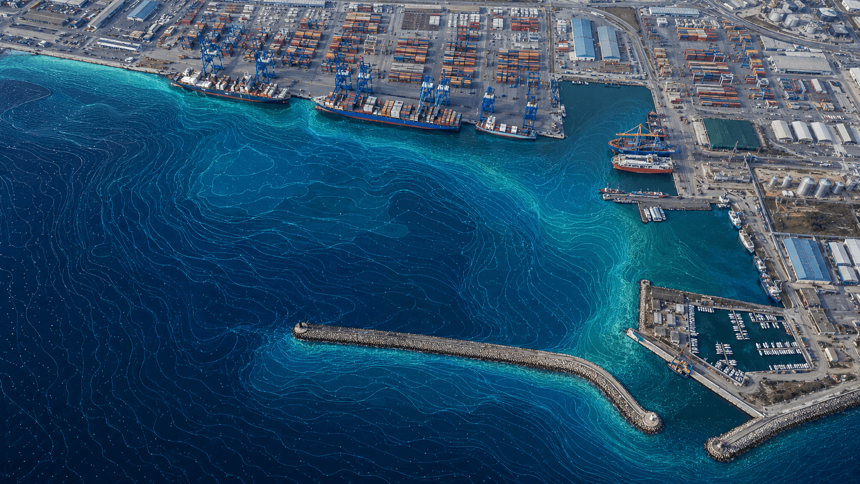
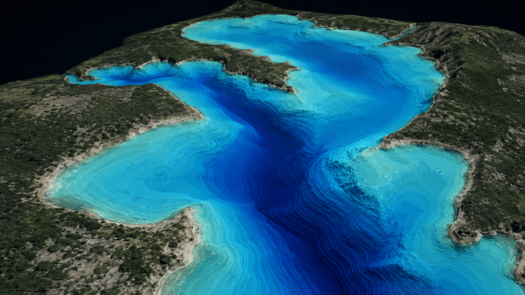
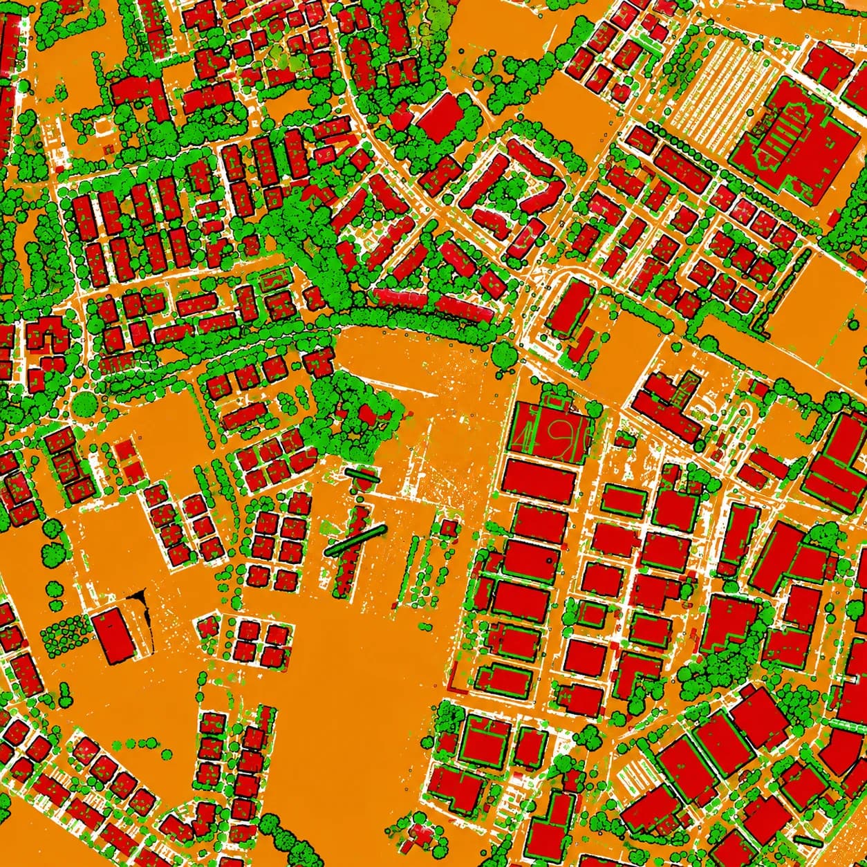
Ports and harbors span land and water, and need both mapped to one datum. MapSphere combines bathymetric survey with drone and LiDAR topographic capture to deliver seamless topo-bathy models of quays, berths, and approaches.
Our data supports dredging, berth planning, and capacity studies.
Relevant services
Use cases
What this sector demands
Land-water continuity
Bathymetry and topographic survey are merged to a common datum for a gap-free surface across the waterline.
Dredging quantities
Accurate depth models drive defensible dredge volumes and reconciliation.
Active marine operations
Capture is coordinated around vessel movements and tides.
What you receive
- Bathymetric maps
- Depth models
- Topo-bathy DEM
- Cross-sections
How we deliver it
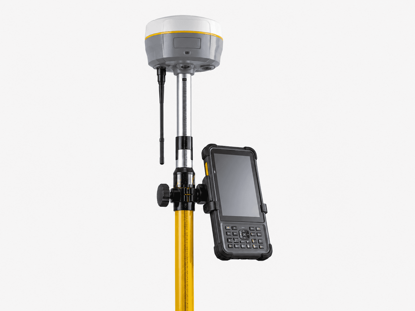
We run dual-beam echo-sounder bathymetry with RTK positioning, capture the landside with drone/LiDAR, and merge to a topo-bathy DEM.
Deliverables include bathymetric maps, depth models, topo-bathy DEM, and cross-sections.
Services we apply here

Ports & Harbors — common questions
01Can you map above and below the waterline together?
Yes. We merge dual-beam bathymetry with drone/LiDAR topographic survey to a common datum, producing a seamless topo-bathy surface across the waterline.
02How do you support dredging?
Accurate depth models and pre/post surveys let us compute dredge volumes and reconcile quantities defensibly.
03What deliverables do ports receive?
Bathymetric maps, depth/volume models, topo-bathy DEM, and cross-sections for berth and capacity planning.
Planning a ports & harbors project?
Tell us about your site and objectives — we'll scope the right survey approach, accuracy, and deliverables.