Railways & Metro
Precision corridor and asset mapping for new lines, station areas, and network upgrades.
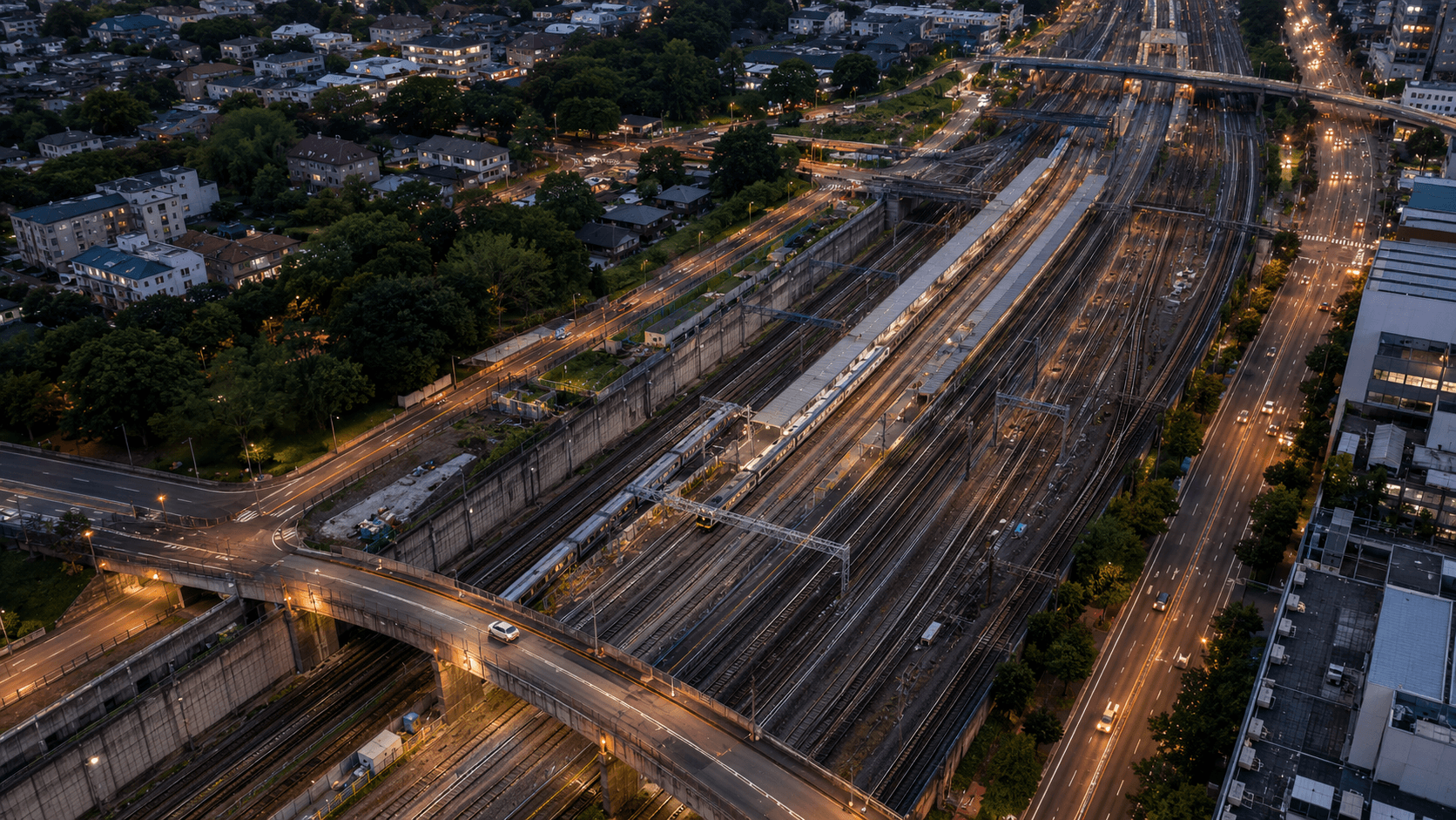
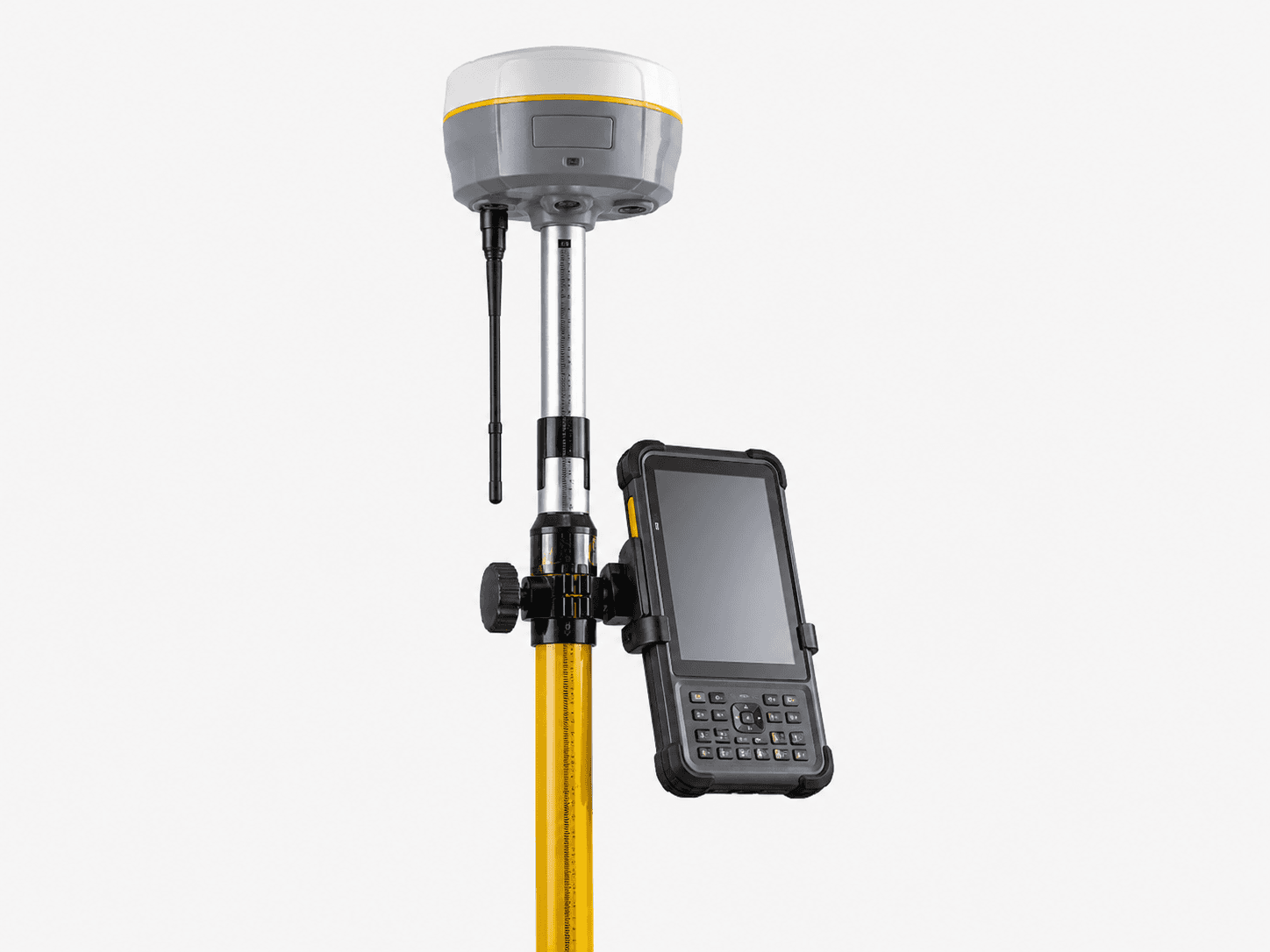
Rail and metro networks demand tight tolerances and detailed clearance data. MapSphere maps track corridors, station areas, and depots with mobile LiDAR and precise ground survey, delivering the alignment, gauge, and clearance datasets that rail engineering depends on.
Our data supports new-line design, network upgrades, clearance analysis, and asset documentation across operational and greenfield corridors.
Relevant services
Use cases
What this sector demands
Restricted track access
Possession windows are short and rare. High-speed mobile scanning captures the full corridor in a single pass, maximizing every access window.
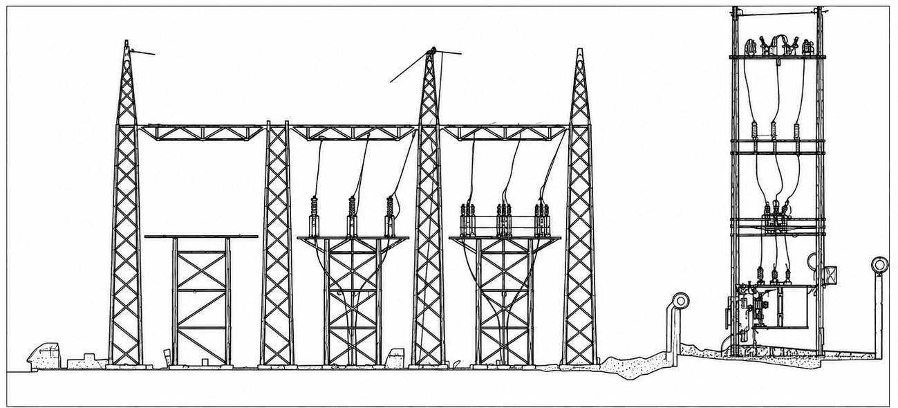
Clearance & gauge analysis
Structure gauge, platform offsets, and overhead clearances require dense, accurate point clouds measured against the rail.
Complex station geometry
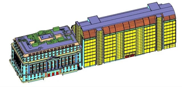
Stations and interchanges need detailed as-built capture for refurbishment and BIM coordination.
What you receive
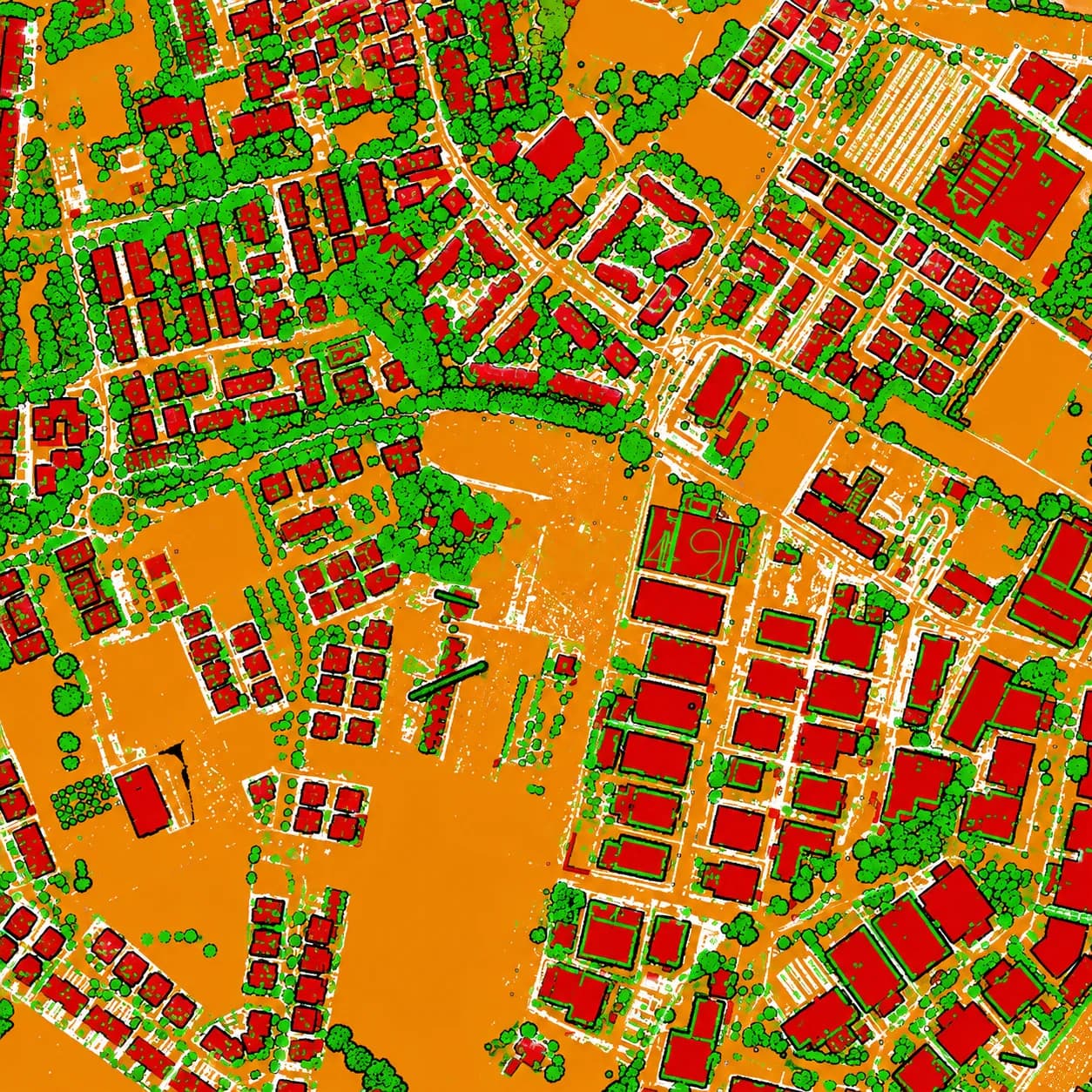
- Corridor point clouds
- Track alignment
- CAD drawings
- Asset layers
How we deliver it
We capture the corridor with mobile LiDAR referenced to rail control, classify track, structures, and overhead, then extract alignment, clearances, and asset layers.
Outputs include track-referenced point clouds, clearance reports, CAD drawings, and asset GIS — and, for stations, coordinated BIM models.
Services we apply here
Railways & Metro — common questions
01How do you handle limited track possession?
Mobile LiDAR captures the entire corridor — track, structures, and overhead — in a single high-speed pass, so a short possession window yields a complete, accurate dataset.
02Can you perform clearance and gauge analysis?
Yes. From a track-referenced point cloud we measure structure gauge, platform offsets, and overhead clearances and report encroachments against the relevant envelope.
03Do you produce as-built models for stations?
We deliver coordinated as-built BIM for stations and depots from terrestrial and mobile scans, suitable for refurbishment and facilities management.
Planning a railways & metro project?
Tell us about your site and objectives — we'll scope the right survey approach, accuracy, and deliverables.