
Smart Cities
Multi-layer GIS and utility mapping forming the digital backbone of connected urban infrastructure.
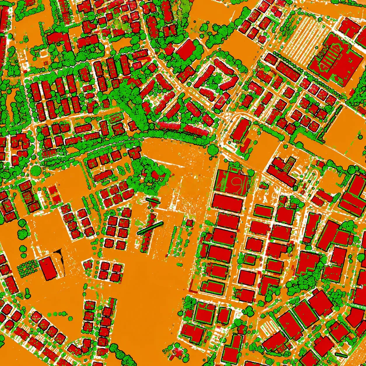
A smart city runs on a trustworthy spatial backbone. MapSphere builds the multi-layer GIS, utility networks, base mapping, and 3D city models that planning, utility, and governance platforms consume.
We unify scattered departmental data into a single, standards-compliant source of truth — ready for dashboards, digital twins, and planning platforms.
Relevant services
Use cases
What this sector demands
Fragmented data silos
Departments hold incompatible records. We consolidate them into one topology-validated geodatabase with consistent attributes.
Citywide scale
Drone, mobile LiDAR, and satellite capture deliver consistent coverage across large urban footprints.
Keeping data current
Repeatable capture and update workflows keep the base mapping aligned with a fast-changing city.
What you receive
- City-scale GIS
- Utility networks
- 3D city models
- Dashboards
How we deliver it
We combine aerial ortho, drone, and mobile LiDAR with field verification to build base maps, utility layers, and 3D city models.
Everything is delivered to OGC standards with ISO 19115 metadata so it plugs into existing GIS, dashboards, and digital-twin platforms.
Services we apply here


Smart Cities — common questions
01What spatial data underpins a smart city?
A current base map, multi-layer utility and asset GIS, parcel/cadastral layers, and a 3D city model — all on a common coordinate system with validated topology and metadata.
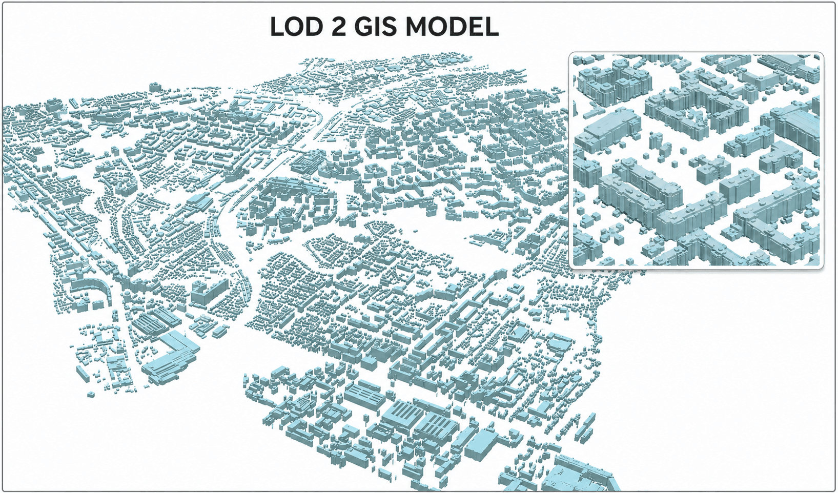
02Can you build a 3D city model?
Yes. From LiDAR and photogrammetry we produce 3D city models suitable for visualization, planning analysis, and digital-twin platforms.
03How do you integrate with our existing GIS?
We deliver to OGC standards (shapefile, GeoJSON, geodatabase) with ISO 19115 metadata and your coordinate system, so the data loads directly into existing platforms.
Planning a smart cities project?
Tell us about your site and objectives — we'll scope the right survey approach, accuracy, and deliverables.