Geotechnical & Investigation Services
Subsurface investigation, soil testing, and engineering recommendations.
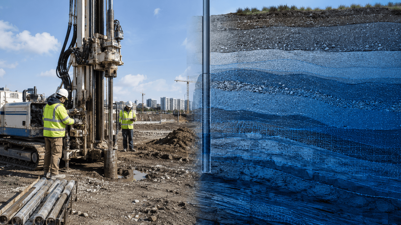
MapSphere supports geotechnical investigation — ERT, soil testing (SPT), groundwater survey, pile load tests, CBR, and pull-out tests — to inform safe, cost-effective foundation design.
Our investigation services pair field instruments with engineering interpretation to de-risk infrastructure and industrial projects.
Key deliverables
Scope of work
- Electrical Resistivity Tomography (ERT)
- Soil testing — SPT
- Groundwater survey
- Pile load test
- CBR test
- Pull-out test
What you receive
- Investigation reports
- Site data
- Engineering recommendations
Sample outputs

Where it’s used
How we deliver it
Project Scope
Understand site, objective, deliverables, timeline, and accuracy needs.
Survey Planning
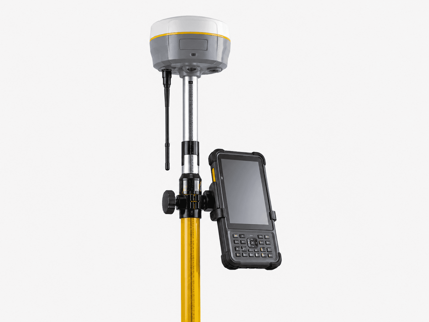
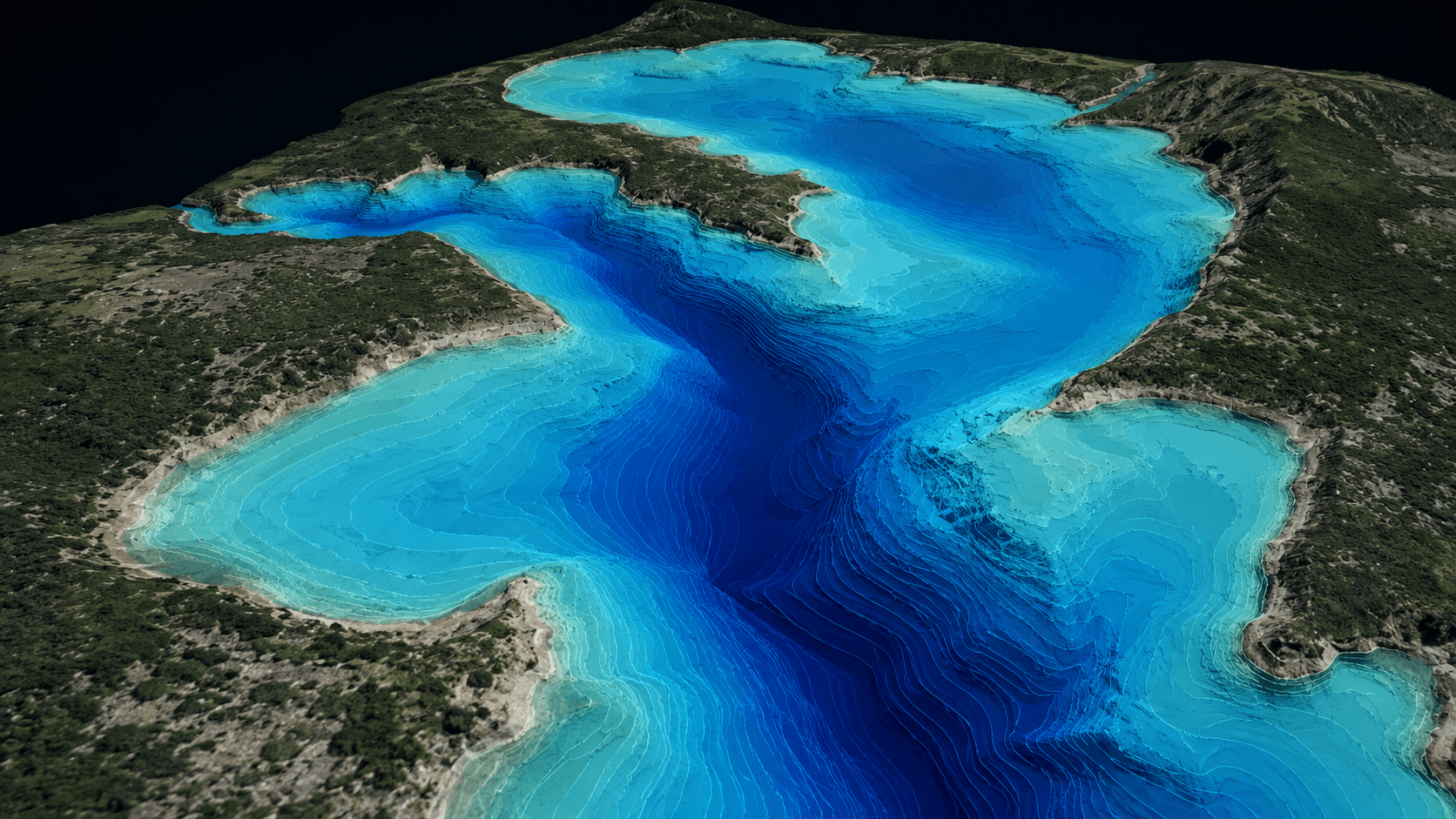
Select the right method — UAV, DGPS, Total Station, LiDAR, GPR, Bathymetry, or hybrid.
Data Capture
Collect field, aerial, scan, image, and control data with approved instruments and trained teams.
Processing & Modeling
Convert raw data into GIS, CAD, BIM, orthophotos, point clouds, DTM/DSM/DEM, and maps.
Quality Validation
Validate accuracy, topology, alignment, coordinate system, completeness, and standards.
Final Delivery
Deliver maps, drawings, reports, spatial databases, models, and decision-ready outputs.
Related services

Geotechnical — common questions
01What geotechnical tests do you offer?
Electrical Resistivity Tomography (ERT), Standard Penetration Test (SPT) soil testing, groundwater survey, pile load tests, CBR, and pull-out tests — paired with engineering interpretation.
02How does geotechnical data support design?
Subsurface profiles, bearing capacity, and groundwater conditions inform safe, cost-effective foundation and pavement design and de-risk infrastructure and industrial projects.
03Do you provide engineering recommendations?
Yes — deliverables include investigation reports, site data, and clear engineering recommendations, not just raw readings.
Start your Geotechnical project
Share your site and objectives — we’ll scope the right approach and timeline.